
GEORGETOWN, GUYANA, October 26, 2026 — Guyanese receiving government house lots will soon have something valuable to accompany their land allocations: a digital record showing exactly where their property is located, photographic evidence of the identification exercise and an electronic signature confirming that the correct lot was shown to them.
The Central Housing and Planning Authority (CH&PA) will introduce its new geo-referencing system nationwide on Monday, November 2, in an important move to modernise land administration and reduce disputes arising from persons mistakenly constructing homes on land allocated to someone else.
Housing Minister Collin Croal announced the initiative during a visit to Bartica, Region Seven, explaining that the system would provide greater protection for allottees while strengthening accountability within the housing authority.
Under the new arrangement, CH&PA surveyors will use electronic tablets to capture the geographical coordinates of each house lot. A photograph will be taken of the beneficiary during the identification exercise, and the allottee will provide a digital signature acknowledging that the property has been shown to them. The information will then be stored in the agency’s digital registry.
Importantly, beneficiaries will also be able to request copies of their lot coordinates for future reference.
For families investing years of savings into purchasing land and constructing homes, this seemingly simple change could prevent expensive and emotionally devastating mistakes.
The importance of accurate land identification was highlighted recently in a dispute at Le Ressouvenir, East Coast Demerara, where a woman constructed a house on a parcel of land that the Housing Ministry maintained had not been allocated to her. The ministry subsequently issued a notice requiring the removal of the structure. The case demonstrated the serious consequences that can arise when the location of an allocated lot becomes disputed.
The new technology is designed to reduce such uncertainty by creating a record of the parcel shown to each beneficiary and the acknowledgement provided at the time.
“This is being introduced to safeguard the allottee as well as the agency,” Minister Croal explained.
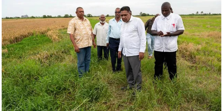
The minister also emphasised that surveyors must physically identify all four boundary markers, commonly known in Guyana as paals, before beneficiaries accept their lots. This is particularly important where persons receive allocations but do not begin construction for several years. Over time, vegetation, weather conditions and development activity can make boundaries difficult to recognise.
For Guyanese living overseas, the development is particularly encouraging. Many diaspora families purchase house lots or assist relatives in building homes while living in North America, the United Kingdom and elsewhere. They may depend on relatives, contractors or agents to monitor their properties and oversee construction. Having access to officially recorded coordinates could provide another means of checking the location of their investment.
An additional opportunity exists for CH&PA to make these records accessible through a secure online verification service. Such a facility could eventually allow overseas allottees to confirm their lot information without travelling to Guyana or depending entirely on third parties. The authority has not yet announced whether remote digital access will be available.
The technology also offers potential improvements in administrative efficiency. Where disagreements arise about which property was shown to an allottee, officials could refer to the stored coordinates, photographs and acknowledgement records rather than relying solely on recollections or paper documentation.
There are, however, important distinctions. Digital identification does not itself confer legal ownership or replace the transport, certificate of title and other documentation required to establish property rights. The system will be most effective when its records are accurately maintained and can be reconciled with official surveys and land ownership records.
Minister Croal said testing of the technology is already underway and that the new procedures will apply to identification exercises across all ten administrative regions. According to the minister, allottees who have paid at least 50 percent of the required amount will be contacted for identification exercises as their lots become ready. The upcoming identification exercise at Bartica’s South Extension development, scheduled to begin November 12, is expected to benefit from the new approach.
As Guyana continues expanding residential developments, improvements in land administration are becoming increasingly important. A house lot may represent a family’s largest investment, and an error in its identification can produce financial losses far exceeding the value of the land itself.
The real value of this initiative will become clearer as it is implemented. Reliable digital records, proper data protection, easy access to information and effective procedures for correcting errors will determine whether the system delivers its intended benefits.
For now, the decision to introduce geo-referencing, photographic verification and digital acknowledgements is a welcome development. It demonstrates how technology can address a practical problem that has affected ordinary Guyanese families.